Tropical Storm Ivo formed over the Eastern North Pacific Ocean on Wednesday afternoon. At 5:00 p.m. EDT on Wednesday the center of Tropical Storm Ivo was located at latitude 14.2°N and longitude 99.1°W which put the center about 195 miles (310 km) south-southeast Acapulco, Mexico. Ivo was moving toward the west-northwest at 22 m.p.h. (35 km/h). The maximum sustained wind speed was 40 m.p.h. (65 km/h) and there were wind gusts to 50 m.p.h. (80 km/h). The minimum surface pressure was 1008 mb.
A low pressure system over the Eastern North Pacific Ocean south of Mexico strengthened on Wednesday afternoon and the U.S. National Hurricane Center designated the system as Tropical Storm Ivo.
The circulation around Tropical Storm Ivo organized quickly on Wednesday afternoon. Thunderstorms developed near the center of Ivo’s circulation. Thunderstorms also formed in bands revolving around the center of Tropical Storm Ivo. Storms near the center of Ivo began to generate upper level divergence that pumped mass away from the tropical storm.
The circulation around Tropical Storm Ivo was small. Winds to tropical storm force extended out 25 miles (40 km) in the northern side of Ivo’s circulation. The winds in the southern side of Tropical Storm Ivo were blowing at less than tropical storm force.
Tropical Storm Ivo will move through an environment mostly favorable for intensification during the next 24 hours. Ivo will move over water where the Sea Surface Temperatures are near 29°C. It will move under the southern side of an upper level ridge over Mexico. The upper level ridge will produce easterly winds that will blow toward the top of Ivo’s circulation. However, the winds in the lower atmosphere will also blow from the east. Since the winds in the upper and lower levels of the atmosphere will blow from the same direction, there will be less vertical wind shear. Tropical Storm Ivo is likely to strengthen during the next 24 hours.
Tropical Storm Ivo will move around the southern side of a high pressure system that is over Mexico. The high pressure system will steer Ivo toward the west-northwest during the next 24 hours. On its anticipated track, Tropical Storm Ivo will move parallel to the coast of southern Mexico.
Bands in the northern side of Ivo’s circulation could drop heavy rain on parts of southern Mexico. Heavy rain could cause flash floods in Guerrero, Michoacan, and Colima.
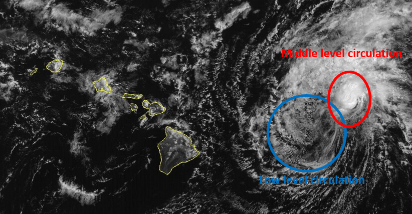
Elsewhere over the Eastern North Pacific Ocean, Tropical Storm Henriette continued to churn toward the Central Pacific. At 5:00 p.m. EDT on Wednesday the center of Tropical Storm Henriette was located at latitude 18.1°N and longitude 131.3°W which put the center about 1555 miles (2505 km) east Hilo, Hawaii. Henriette was moving toward the west at 16 m.p.h. (26 km/h). The maximum sustained wind speed was 50 m.p.h. (80 km/h) and there were wind gusts to 65 m.p.h. (105 km/h). The minimum surface pressure was 1005 mb.