The potential risk posed by a low pressure system near Corpus Christi, Texas prompted the U.S. National Hurricane Center to issue a Tropical Storm Warning for a portion of the coast of Louisiana on Tuesday afternoon. The National Hurricane Center has designated the low pressure system as Potential Tropical Cyclone One. At 8:00 p.m. EDT on Tuesday the center of Potential Tropical Cyclone One was located at latitude 27.6°N and longitude 97.3°W which put the center about 15 miles (25 km) south-southeast of Corpus Christi, Texas. The low pressure system was moving toward the northeast at 6 m.p.h. (10 km/h). The maximum sustained wind speed was 30 m.p.h. (50 km/h) and there were wind gusts to 40 m.p.h. (65 km/h). The minimum surface pressure was 1004 mb.
A Tropical Storm Warning is in effect for the portion of the coast from Sabine Pass to Morgan City, Louisiana.
A Tropical Storm Watch is in effect for the portion of the coast from Sargent, Texas to Sabine Pass, Louisiana.
The National Hurricane Center designated a low pressure system over South Texas as Potential Tropical Cyclone One on Tuesday. The distribution of thunderstorms in Potential Tropical Cyclone One was still asymmetrical on Tuesday evening. Thunderstorms were occurring in bands in the eastern side of the low pressure system. The strongest thunderstorms were occurring in bands that were over the Gulf of Mexico. Bands in the western half of the low pressure system consisted primarily of showers and lower clouds. Storms near the center of circulation generated upper level divergence that pumped mass away from the low pressure system. The removal of mass caused the surface pressure to slowly decrease.
Potential Tropical Cyclone One will move around the northwestern side of a high pressure system that extends from the western Atlantic Ocean to over the Gulf of Mexico. The high pressure system will steer the low pressure system toward the northeast during the next 24 hours . On its anticipated track, the low pressure system could move over the northwestern Gulf of Mexico.
If Potential Tropical Cyclone One moves over the northwestern Gulf of Mexico, it will move into an environment that will be marginally favorable for the development of a tropical storm. The low pressure system will move over water where the Sea Surface Temperatures are near 28°C. It will move under the southern part of an upper level trough that is over the eastern U.S. The upper level trough will produce westerly winds that will blow toward the top of Potential Tropical Cyclone One. Those winds will cause moderate vertical wind shear. The vertical wind shear will inhibit development, but the wind shear may not be enough to prevent the formation of a tropical depression or a tropical storm.
The U.S. National Hurricane Center is indicating that the probability is 70% that a tropical depression or a tropical storm forms over the northwestern Gulf of Mexico. Reconnaissance planes have been tentatively tasked to fly into the the low pressure system on Wednesday, if necessary.
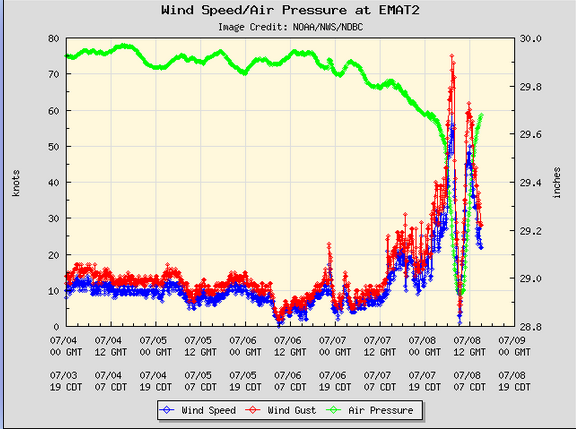
The low pressure system has already dropped heavy rain over parts of South Texas and northern Mexico.
Flood Watches are in effect for South Texas, southeast Texas, most of Louisiana, the southern half of Mississippi, central Alabama, Northwest Florida, and northern Georgia.